How Far From Amarillo To Palo Duro Canyon

So you're in Amarillo, staring at a flat horizon, and someone says, “Hey, let’s go to Palo Duro Canyon.” Great idea. But first, the practical question: how far is it, really?...

So you're in Amarillo, staring at a flat horizon, and someone says, “Hey, let’s go to Palo Duro Canyon.” Great idea. But first, the practical question: how far is it, really?
Short answer: about 30 miles from downtown Amarillo to the state park entrance. Drive time lands around 35 to 45 minutes. That’s it. You can still make it back for dinner.
Of course, “it depends” is the official answer. Where in Amarillo are you starting, and are you towing a boat? Okay, maybe not a boat.
Must Read
The Short Answer, No Fluff
From the heart of Amarillo, you’re looking at roughly 28 to 32 miles to Palo Duro Canyon State Park. The route usually runs south on I-27, then east on Highway 217. Easy peasy.
If you’re near the airport or far east side, add 10 to 15 minutes. If you’re on the west side, you might shave off a few. Amarillo isn’t that big, but every mile counts when you’re hungry.
And yes, 30 miles in Texas is basically next door. In some states, that’s a whole vacation. Here, it’s a morning coffee run with a canyon at the end.
Why It Feels Closer Than It Is
The drive is almost suspiciously simple. You hop on the interstate, head south, and watch the plains do their flat, humble thing. Then you turn east.
For a while, you see fields, sky, and maybe a tractor. You might think, “Did I miss it?”—then the land suddenly cracks open. The canyon doesn’t wave; it just appears.
It’s like a magic trick, except the rabbit is a 120-mile-long gash in the earth. And the magician is geology. Very patient geology.
Step-by-Step Directions (Roughly)
From Downtown Amarillo
Get on I-27 south toward Canyon. Drive about 15 to 20 miles. Take the exit for Highway 217 and follow the signs east to Palo Duro Canyon State Park.
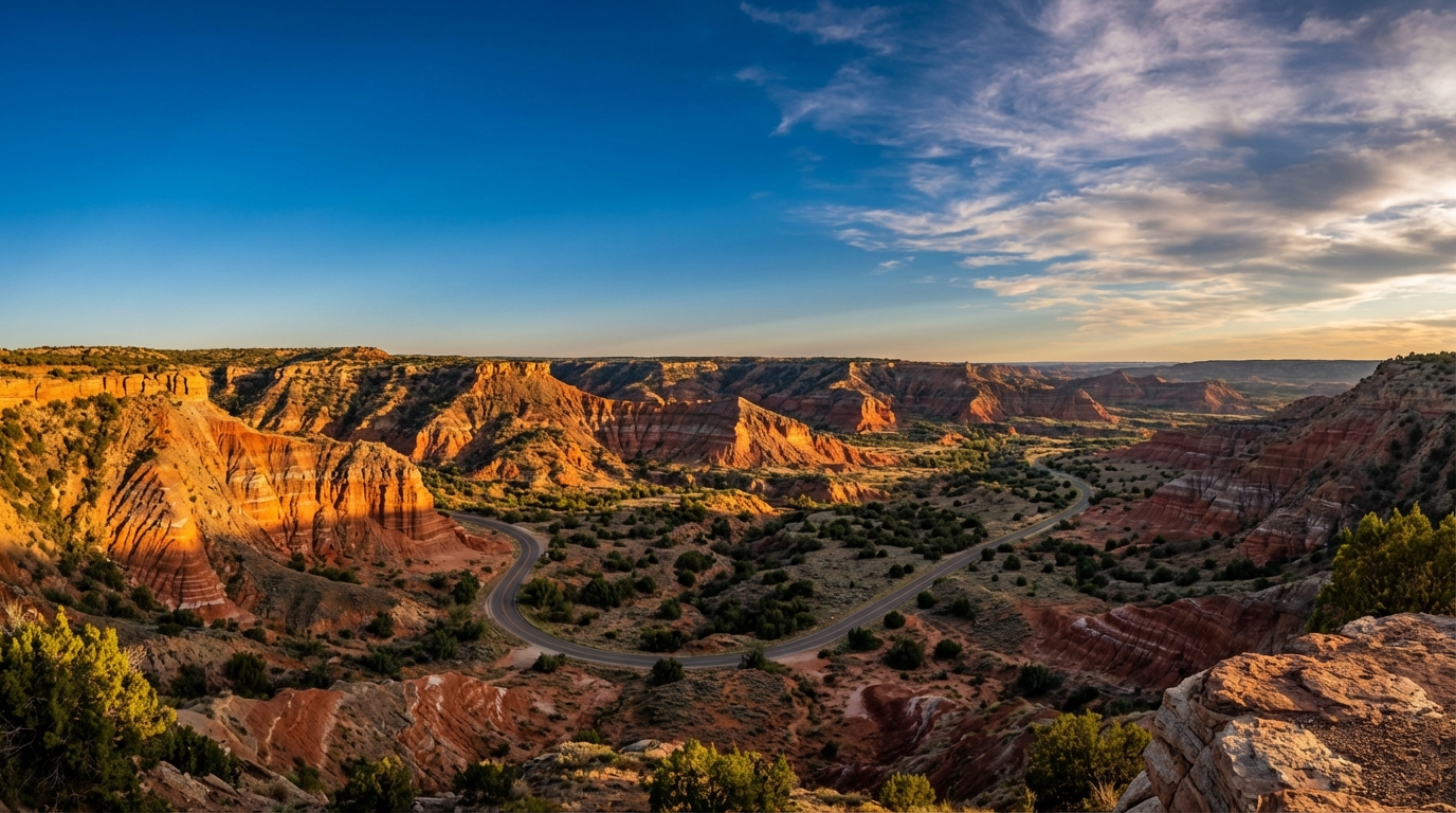 Palo Duro Canyon: Hiking Texas' Second-Largest Canyon
That last stretch is maybe another 10 to 12 miles. Total? Around 30 miles. You’ll pass through Canyon, Texas, which is cute and convenient for snacks.
From Amarillo Airport
Starting at Rick Husband Amarillo International Airport? Add some time. You’re east of downtown, so you’ll head west and south first—figure 45 to 55 minutes total, depending on traffic lights.
Still not bad. You can listen to a podcast episode or half a country album. Your call.
What Counts as “Far” Around Here?
So when someone asks, “How far from Amarillo to Palo Duro Canyon?” you can say, “Not far.” Then watch their face when you add, “About 30 miles, 40 minutes, and one dramatic reveal.”
It’s close enough for a spontaneous trip. Far enough to feel like you escaped. That’s the sweet spot.
What You’ll Find at the End of the Drive
Palo Duro Canyon is the second-largest canyon in the United States. It’s roughly 120 miles long, up to 20 miles wide, and about 800 feet deep. Numbers don’t do it justice.
The park has hiking, biking, camping, and horseback riding. The Lighthouse Trail is the rock star—literally. It ends at a towering rock formation that looks like a lighthouse, minus the ocean.
 Driving From Amarillo Texas to Palo Duro Canyon State Park TX Cross
Bring water, sunscreen, and actual shoes. Flip-flops are not trail gear. The canyon will judge you, silently and with heat.
Timing Tips for the Drive
Leave early if you’re hiking in summer. The canyon gets hot, and the shade is limited. Sunrise is gorgeous, and the parking lot is emptier.
Check park hours and reservation requirements before you go, because sometimes the gate gets busy. You don’t want to drive 30 miles just to do a U-turn. That’s a sad story.
Also, gas up in Amarillo or Canyon. The park is not a metropolis, and there’s no drive-thru latte at the trailhead. Yet.
The Bottom Line
From Amarillo to Palo Duro Canyon, plan on about 30 miles and 35 to 45 minutes. That’s the honest, no-drama answer—unless you stop for tacos, then add time.
So grab your keys, fill your water bottle, and go. The canyon is closer than you think. And it’s absolutely worth the short drive.
Now, the only real question left: do you want the scenic route or the fastest route? Spoiler—they’re basically the same, and both end in red rock. Lucky you.
